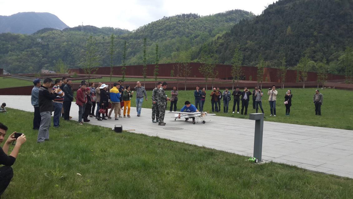
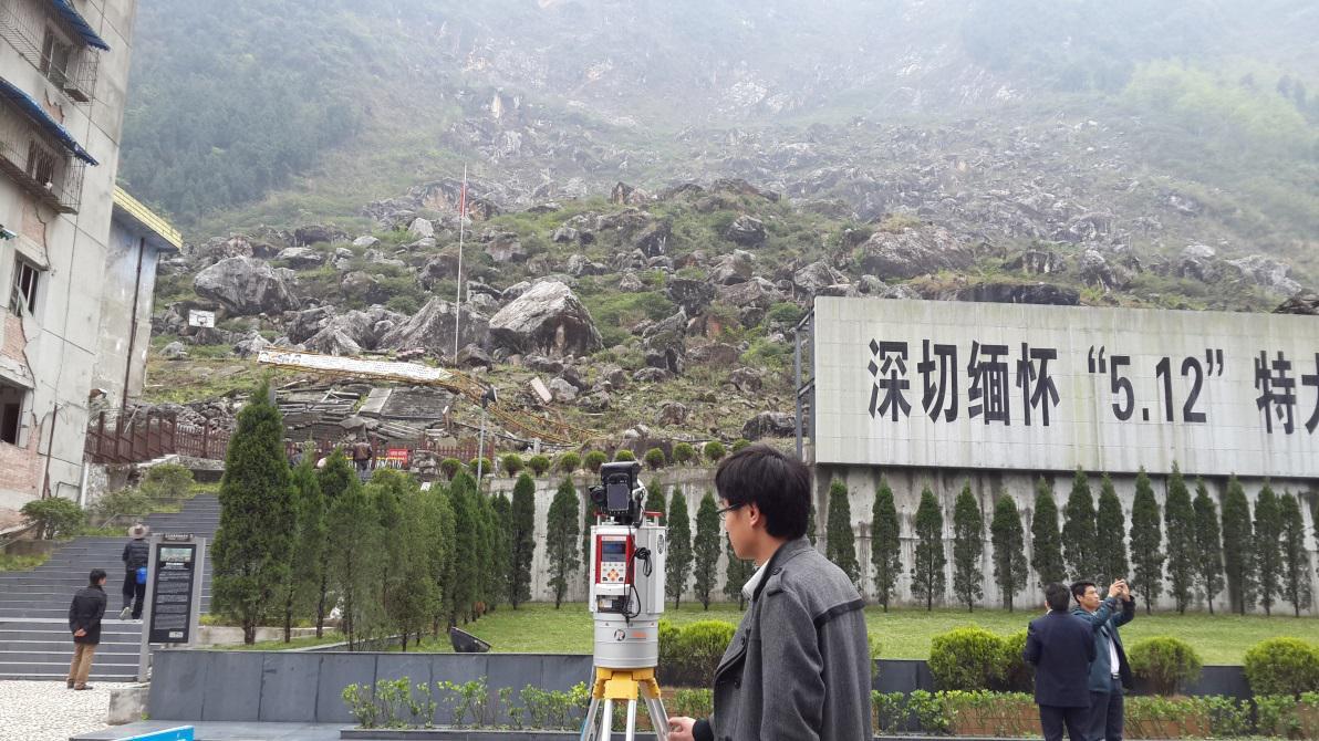
According to the implementation plan of National 863 Plan key Project "Typical geological disaster remote sensing monitoring and emergency technology and application". Starting from April 11, "The typical geological disaster remote sensing monitoring and emergency application joint experiment" in "5.12" Big earthquake site Beichuan old county launched a two-week special scientific experiment. The project is carried out by the Ministry of Civil Affairs National Disaster Reduction Center, which is jointly organized by the Department of Beijing, Tsinghua University, Wuhan University, Central South University, Tongji University, China National Institute of Geology, Southwest Jiaotong University and China Seismological Bureau. Xu Ruitao Secretary, Professor Liu Guoxiang, Professor Zhu Qing, professor Qi Hua, Tang Jiafa Associate professor (in Beichuan attachment Deputy County magistrate) and Ph. D. Miao, five postgraduate students participated in the joint experiment.
According to Wang, deputy director of Aeronautical remote Sensing at the National Disaster Reduction Center of the Ministry of Civil Affairs, the experiment will make full use of the multi-source data such as high-resolution, multidimensional remote sensing data, disaster scene and basic geography, and break through the evaluation of the loss of important disaster-bearing bodies (houses, roads, etc.) The key technologies of multidimensional spatiotemporal data integration and disaster loss coordination based on high speed network environment, in order to improve the timeliness and accuracy of the geological disaster emergency management, the paper constructs the real-life loss assessment technology system based on the integrated multi-source data of "Tian-earth-site" and the main disaster-bearing body. Support for disaster relief and rehabilitation. "by satellite, aircraft and on-site personnel, such as the construction of a space-day-site integration of disaster data collection and analysis system, to ensure that in the shortest possible time to assess the disaster, to provide the basis for scientific decision-making, so as to avoid a major disaster in the early stages of full disaster relief and the timely and accurate "" This system is characterized by fast, accurate, full, even if only after the disaster data, but also to ensure that the entire disaster assessment accuracy rate of at least more than 70%. Professor Zhu Qing, of the School of Earth Science and environmental engineering of our school, said the project team selected the field test project in Beichuan Old County earthquake site, because the Beichuan earthquake and its secondary disasters are the most serious, many kinds of disasters are the most concentrated, various features of different damage characteristics are the most typical, disaster rapid and accurate assessment of the most difficult. In the course of the experiment, we will also carry on the 3D digital reduction to the main street of the old county, also is the digital archive of the Beichuan earthquake site. ”
Related news reports Link:
Xinhua: http://news. Xinhuanet. com/2014-04/13/c_1110219444. htm
NET: http://scitech. People. com. cn/big5/n/2014/0414/c1007-24890628. html


