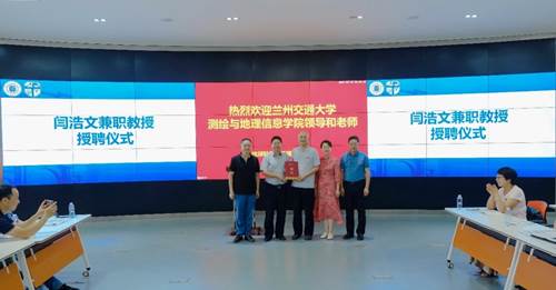
On August 10, 2020, Yan Haowen, Distinguished Professor of the Yangtze River Scholar Program by the Ministry of Education and Dean of Faculty of Geomatics, Lanzhou Jiaotong University was appointed as an adjunct professor of Southwest Jiaotong University. Yao Faming, Vice President of Southwest Jiaotong University awarded a letter of appointment and put the school badge on Yan Haowen.
Note: Yan Haowen, a dual doctoral degree winner of Wuhan University, China and University of Waterloo, Canada, Distinguished Professor of the Yangtze River Scholar Program by the Ministry of Education, member of program of Young and Middle-aged Pacesetter in Scientific and Technological Innovation, member of "XX Program" of Pacesetter in Scientific and Technological Innovation, Gansu Province Top Leaders, is the founder and editor-in-chief of Journal of Geovisualization and Spatial Analysis of Springer. Professor Yan once studied at Wuhan University and PLA Information Engineering University in China, Hong Kong Polytechnic University, University of Zurich in Switzerland, University of Waterloo in Canada, and Old Dominion University in the USA; he published 13 monographs, including 5 in English, and more than 200 academic papers, including 56 ones as the first author as well as 20 SCI-indexed papers; also, he obtained 9 patents, presided over more than 30 research projects and hosted more than 10 international and China's academic conferences as the chairman and founded the first "Symposium on Theory and Methodology of Cartography" in China (June 2016). He introduced three undergraduate programs of Geographic Information Science, Geomatics Engineering and Remote Sensing Science and Technology in Lanzhou Jiaotong University, applied to build the master's degree programs of Geography, doctoral program of Surveying and Mapping, and postdoctoral research center in Surveying and Mapping, took the lead in establishing the Faculty of Geomatics and served as the first dean, and applied to establish the State-Local Joint Engineering Research Center of Technologies and Applications for National Geographic State Monitoring and served as the first director. His main research interests include: micromap, map automatic generalization, geographic visualization and spatial analysis, spatial digital fingerprint and watermark.